Queens Quay’s Century-Long Transformation Is a Blueprint for Waterfront Development
Every developer who studies Toronto’s waterfront eventually arrives at the same lesson: land is never static. It is shaped, reshaped, and repositioned as a city’s needs change. Few corridors make that point as clearly as Queens Quay, a strip of shoreline that has moved through industrial function, decades of quiet stagnation, and finally into one of the city’s most desirable addresses.
Before the 1920s, the Esplanade marked the southern edge of the city. What followed was a large scale infill project that pushed the shoreline further into the harbour, creating the land that would become Queens Quay. That single decision, made nearly a century ago, is a reminder that today’s waterfront neighbourhoods often sit on tomorrow’s opportunity, engineered decades before anyone recognized its long term value.
For most of the twentieth century, this stretch of land served a strictly industrial purpose. Piers, docks, and facilities like the Redpath Sugar Refinery anchored the area’s identity around shipping and trade rather than housing or lifestyle. That is a phase every port city goes through, and it is easy to underestimate how long that industrial identity can persist before market forces and civic ambition align to unlock a different use.
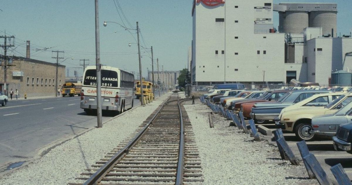
The real inflection point arrived in the 1970s. The opening of the Toronto Star building in 1971 and the Westin Harbour Castle in 1975 signalled a shift in what this land could support. That is the pattern experienced developers watch for: a handful of anchor projects that change the perceived function of an entire corridor. Once major employers and hospitality players commit capital to a location, the surrounding land begins to be evaluated differently by everyone else, including planners, investors, and eventually residents.
Land value rarely moves in a straight line. It moves in phases, and the phase between industrial use and full residential intensification is where the greatest long term opportunity is created.
What makes Queens Quay instructive today is the timeline itself. Decades separated the initial infill from the first major redevelopment signals, and decades more passed before the condo towers, public realm improvements, and streetcar infrastructure we associate with the area now were in place. For anyone evaluating land near working waterfronts, transit corridors, or underused industrial belts, that timeline matters. Intensification is rarely immediate. It is the product of infrastructure decisions, zoning evolution, and shifting demand that compound quietly over a long horizon.
Toronto’s waterfront did not become valuable by accident. It became valuable because the land was created deliberately, held through a long industrial phase, and then repositioned as the city’s growth patterns demanded more from its shoreline. That same sequence is playing out today in port lands, rail corridors, and underutilized industrial zones across major Canadian cities. The developers who recognize the pattern early, rather than waiting for it to be obvious, are the ones who capture the value.
Source: blogTO, “What Queens Quay used to look like in Toronto”