Biidaasige Park Signals the Next Phase of Toronto’s Waterfront Land Value
The opening of 10 additional acres at Biidaasige Park is not only a public realm milestone. It is a development signal. As UrbanToronto reports, the new harbourside extension brings the public into a section of Toronto’s waterfront that had been closed off for years, transforming former industrial land around the naturalized mouth of the Don River into accessible civic infrastructure.
For developers, planners, and long-horizon investors, this is the kind of change that matters before the market fully prices it in. Parks of this scale do more than add amenity. They reorder land perception. They turn back-of-house industrial edges into front-door addresses. They shift how future residents, employers, and institutions understand a district’s identity.
The Port Lands have always carried enormous theoretical value. The constraint was never location. It was servicing, flood risk, fragmented industrial uses, environmental remediation, access, and the absence of a coherent public realm. The naturalization of the Don River and the buildout of Biidaasige Park directly address several of those barriers. They do not solve every feasibility issue, but they reduce uncertainty around one of the most important questions in urban development: can this land support a complete, desirable, investable community?
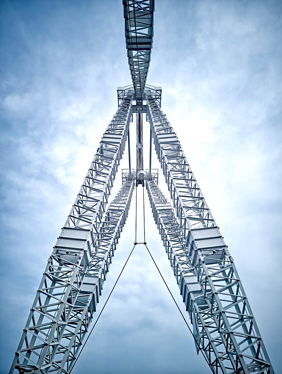
The restored Atlas cargo crane is also more than heritage decoration. It anchors memory in a district undergoing structural change. Toronto’s strongest regeneration projects are not blank-slate exercises. They work when infrastructure, landscape, and industrial history are integrated into a new urban proposition. The crane helps communicate that this is not simply waterfront beautification. It is a conversion of working lands into a mixed civic and development platform.
Public realm delivery is often the first visible proof that a growth district has moved from aspiration to execution.
The strategic question now is how quickly adjacent land use permissions, servicing capacity, mobility links, and development phasing align with the public investment already in the ground. A park can lift values, but value capture depends on what the planning framework allows around it. Height, density, tenure mix, community services, transit access, and street network completion will determine whether the area becomes a high-performing urban district or a beautiful but underleveraged edge condition.
Housing supply is central to that equation. Toronto cannot afford to treat major waterfront infrastructure as isolated civic improvement. Every acre of new public realm in a constrained housing market should be read against the question of how much complete-community capacity it unlocks. The Port Lands are one of the few places in the city where large-scale growth can still be planned with district-level infrastructure, rather than retrofitted one parcel at a time.
What should decision makers watch next? The pace of surrounding approvals, the sequencing of transportation improvements, the treatment of employment lands, and the market’s appetite for early residential and mixed-use projects near the park system. Biidaasige Park is becoming a civic asset. The larger test is whether Toronto can convert that asset into durable housing supply, public access, and long-term urban value.
Source: UrbanToronto