What a Yonge Street Walking Tour Reveals About Seven Decades of Transit-Driven Growth
Toronto’s clearest case study in transit-oriented development is not sitting in a planning report. It is standing on Yonge Street, visible to anyone willing to walk it. That is the premise behind a new public tour series pairing UrbanToronto with the Council on Vertical Urbanism, and for anyone who studies how cities grow, it is worth paying attention to.
The Transit+Towers tour traces the Yonge corridor from Union Station north to Midtown, stopping at five points that each mark a distinct chapter of intensification: Union, College Park, Bloor-Yonge, St Clair, and Yonge and Eglinton. What makes this route significant from a development standpoint is the timeline it covers. The subway opened in 1954, and more than seventy years later the corridor is still absorbing new density, still adjusting to shifting policy, and still responding to whatever transit infrastructure arrives next, in this case the anticipated Eglinton Line 5.
That is the real lesson embedded in this walk. Transit access does not simply support development, it redirects capital toward it over long periods of time. Land near a subway line does not intensify once and stop. It intensifies in waves, each one shaped by the financing conditions, policy environment, and market appetite of its era. A station opened in the 1950s can still be generating investment decisions in the 2020s, which is exactly the kind of long-horizon thinking that separates durable development strategy from short-term speculation.
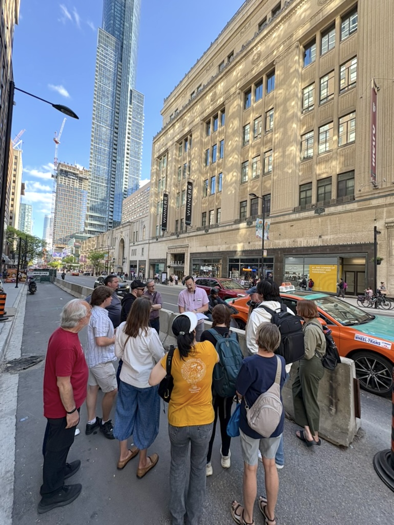
The tour organizers make a point of showing the friction as well as the success. Isaac Work of the Council on Vertical Urbanism describes the corridor as a place “where transit and towers grow up together,” but growing up together is rarely tidy. The route highlights heritage constraints that shape what can be built, financing pressure that stalls or reshapes towers mid-project, and cases where developers moved ahead of promised transit rather than waiting for it. Anyone underwriting a project near a future transit line should recognize that pattern. Committing ahead of infrastructure is a bet on timing, and timing is often the hardest variable in a development pro forma to get right.
Land near a subway line does not intensify once and stop. It intensifies in waves, shaped by the financing conditions, policy, and market appetite of its era.
There is also a companion walk worth noting for anyone thinking about below-grade value creation, a tour of Toronto’s PATH network, which links roughly 30 kilometres of tunnels beneath the downtown core and quietly shapes the ground-level plazas and retail frontage built above it. It is a reminder that transit-oriented value is not confined to what rises above the street.
Three Transit+Towers dates remain this year, running through October, departing Union Station at 5:30 PM. For developers, planners, and anyone assembling a long-term view of the Yonge corridor, walking the ground itself remains one of the most direct ways to read where Toronto’s growth has been, and where the next wave of towers is likely headed.
Source: UrbanToronto