

Yonge Street Remains Toronto’s Clearest Test of Transit-Led Intensification
Toronto’s growth story is written most clearly along Yonge Street. A new 2026 walking tour series from UrbanToronto and the Council on Vertical Urbanism uses that corridor as an urban classroom, but the larger signal is not about tourism. It is about how transit access, land value, zoning ambition, heritage constraints, construction economics, and public infrastructure continue to determine where Toronto can absorb growth.
The Transit+Towers program follows the corridor from Union Station to Yonge and Eglinton, tracing the relationship between rapid transit and high-density development from the opening of the subway in 1954 to the tower clusters now forming around Line 5 Eglinton. For developers and planners, that route is not simply historic. It is a live cross-section of Toronto’s most valuable urban land, and a reminder that transit-oriented development only succeeds when policy, capital, and infrastructure timing align.
Union Station anchors the region’s employment core and remains the strongest example of infrastructure as a land value engine. Every major office, residential, hotel, and mixed-use decision around the station has been shaped by regional accessibility. The lesson is direct: where transit capacity is strongest, the market will support greater density, but only if approvals, servicing, pedestrian circulation, and station integration can keep pace with demand.
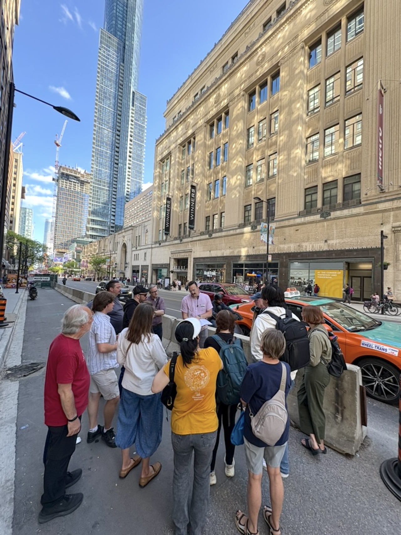
College Park introduces a different development reality. Legacy assets, adaptive reuse, institutional memory, and heritage conditions all affect what can be built and how quickly it can move. This is where feasibility becomes more complicated than a simple density calculation. A site may sit on exceptional transit, but preservation requirements, fragmented ownership, existing tenants, construction staging, and public realm obligations can reshape the pro forma.
Bloor-Yonge is the highest-order example. It has the transit logic for exceptional density, but also the operational pressure of being one of the busiest interchange points in the country. Large-scale redevelopment here cannot be evaluated only by height or unit count. It must be measured against station capacity, vertical circulation, sidewalk loading, utility constraints, shadow impacts, and the politics of intensifying an already intense node.
Transit-oriented development is not created by proximity to a station alone. It is created when land economics, infrastructure capacity, and planning permissions move in the same direction.
Farther north, St Clair and Eglinton show how the corridor changes as it moves out of the financial core. The built form becomes more varied, the development parcels shift, and the politics of neighbourhood transition become more visible. At Eglinton, the arrival of Line 5 has already influenced land assemblies, applications, and investor expectations. In some cases, construction activity has moved ahead of full transit service, which shows both confidence in the long-term corridor and the risks tied to delayed infrastructure delivery.
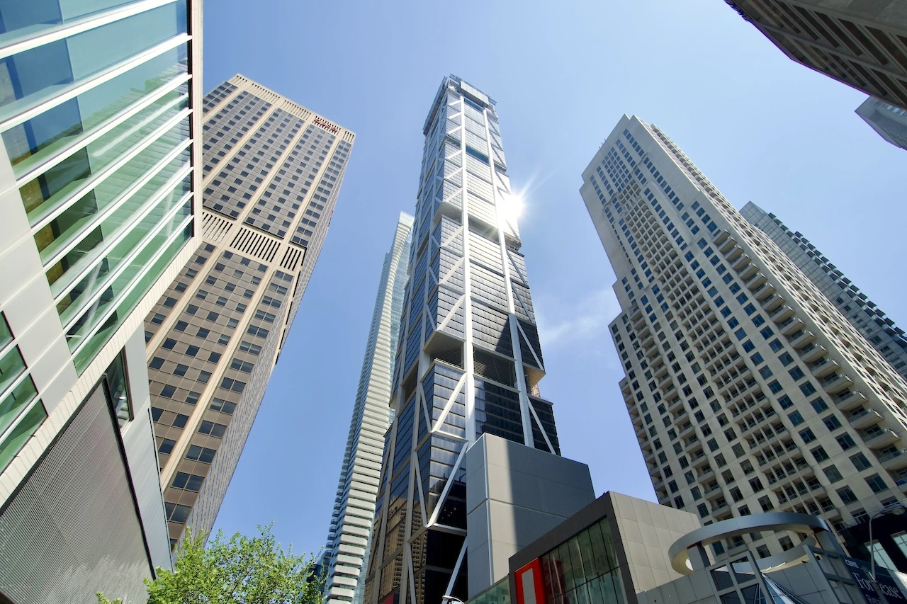
The companion focus on the PATH network adds another important layer. Downtown Toronto’s underground pedestrian system is not just a convenience. It is a development platform that affects retail viability, office leasing, tower entrances, weather-protected movement, and how private buildings participate in the public realm. For major projects, below-grade connectivity can be as strategically important as frontage, parking, or lobby design.
What matters for decision makers is the pattern. Toronto’s next generation of growth will not be distributed evenly. It will concentrate where transit investment, zoning reform, land assembly, public realm upgrades, and market demand intersect. The Yonge corridor remains the benchmark because it exposes every pressure at once: demand for housing, pressure on infrastructure, appetite for height, heritage complexity, and the constant challenge of converting planning vision into buildable projects.
Developers, planners, and institutional investors should watch these corridors less as static locations and more as sequencing problems. The winners will be the groups that understand not only where density is permitted, but when infrastructure will arrive, how public capacity will be funded, and which sites can actually absorb growth without collapsing under their own constraints.
Source: UrbanToronto