Biidaasige Park Is Turning the Port Lands From Infrastructure Project Into Development Platform
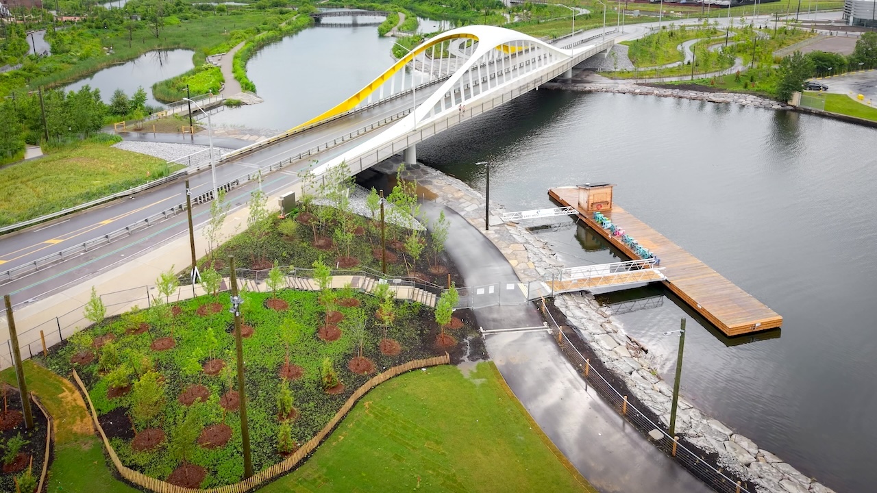
The new dock at Biidaasige Park is a small piece of infrastructure with a larger signal behind it. As UrbanToronto reports, shuttle boats are now moving visitors between the east end of Toronto Harbour, the foot of Yonge Street, and Portland Street, connecting the newly naturalized mouth of the Don River to the broader waterfront network. For developers and city builders, the story is not simply about park access. It is about the Port Lands entering a new phase of urban legibility.
For decades, the Port Lands have been discussed as future city rather than lived city. Flood protection, soil conditions, servicing, roads, bridges, transit planning, and fragmented industrial land uses made the area strategically important but difficult to unlock. Biidaasige Park changes that perception. Public access, visible landscape investment, and harbour mobility begin to translate a highly technical regeneration project into a place that residents, investors, and policymakers can understand.
This matters because land value does not move on zoning alone. It moves when entitlement, infrastructure, amenity, and confidence begin to align. The Port Lands have long had the scale to absorb significant residential and mixed-use growth, but feasibility depends on more than permitted density. It depends on whether the market believes the district can function as an integrated extension of the city, not an isolated development frontier.
The dock and shuttle service are modest in capital terms compared with flood protection or transit expansion, but they are important placemaking infrastructure. They shorten the psychological distance between the central waterfront and the emerging eastern harbour. They also create interim connectivity before the full buildout of higher-order transit, streets, and bridges. In large regeneration districts, interim access can shape demand years before full development maturity.
In major waterfront redevelopment, the first real shift is not always a tower crane. Sometimes it is the moment people can arrive, move through, and imagine staying.
For planners, the opening of expanded public realm reinforces the sequencing challenge ahead. Parks, ecological systems, mobility, and servicing must be coordinated with development permissions so that future density lands into a complete district rather than a construction zone with scattered amenities. The Port Lands cannot rely on market absorption alone. Its success will depend on governance discipline, infrastructure timing, and a clear hierarchy of streets, public spaces, transit access, and development parcels.
For developers and institutional landholders, the key question is how quickly public investment converts into development certainty. The more Biidaasige Park becomes a destination, the stronger the case for mixed-use projects that treat landscape and waterfront access as core value drivers. Residential, cultural, hospitality, and employment uses all become more viable when the district is no longer perceived as peripheral industrial land but as a connected waterfront address.
The next indicators to watch are not only park openings. Watch transit commitments, servicing capacity, road network delivery, parcel release strategy, and how the city handles density, affordability, and employment protection in future approvals. Biidaasige Park is giving the Port Lands its public face. The development test now is whether Toronto can match that civic investment with a planning and infrastructure framework capable of supporting a full urban district.
Source: UrbanToronto